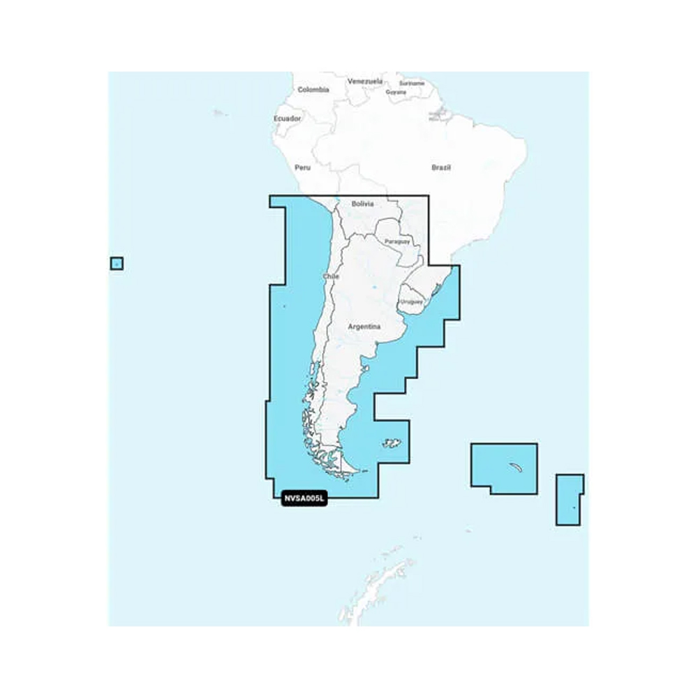
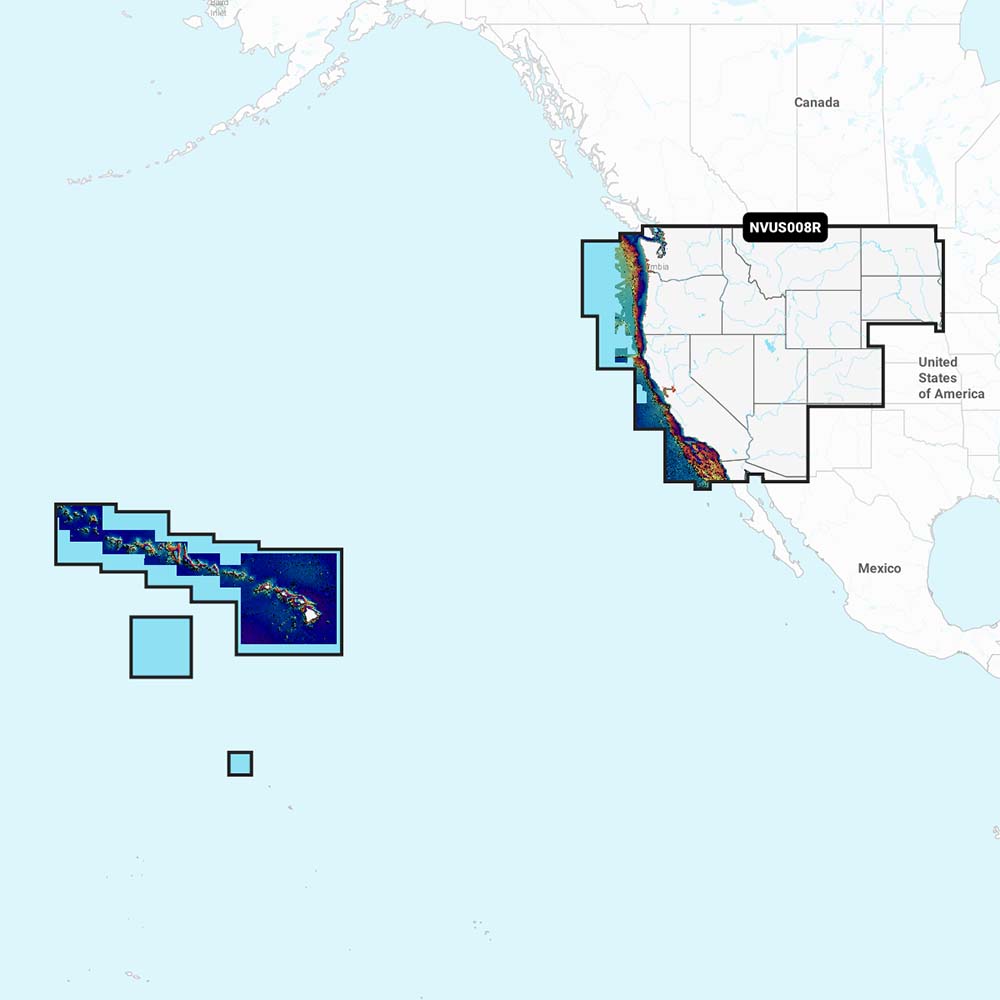
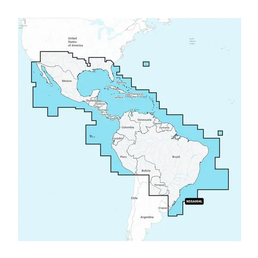
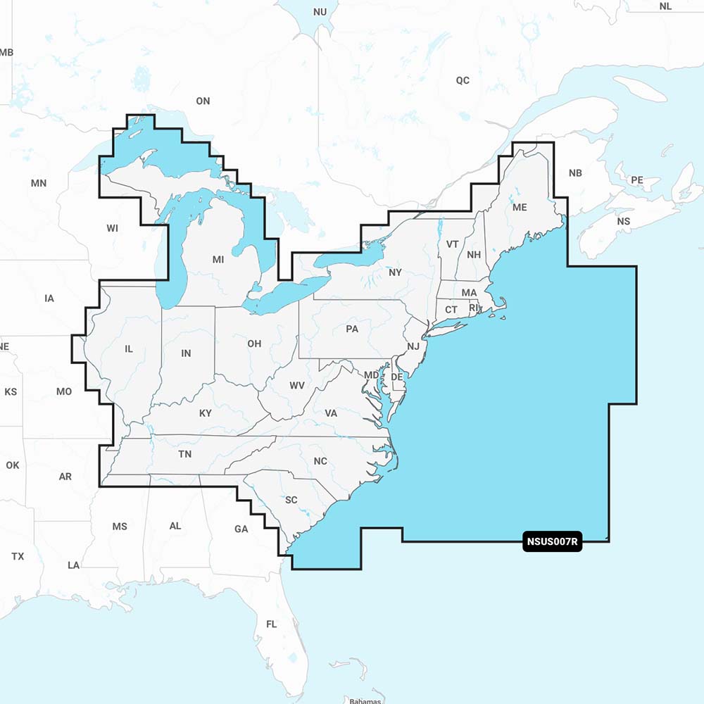
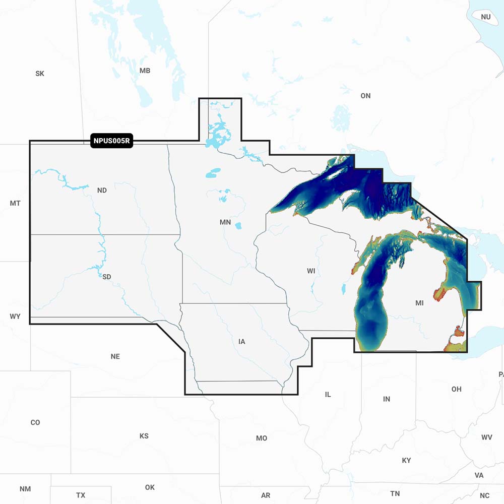
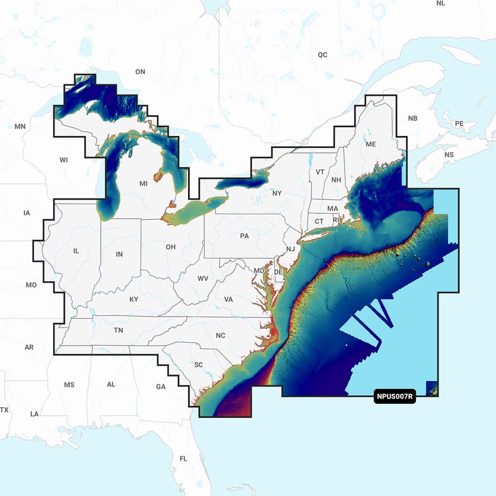
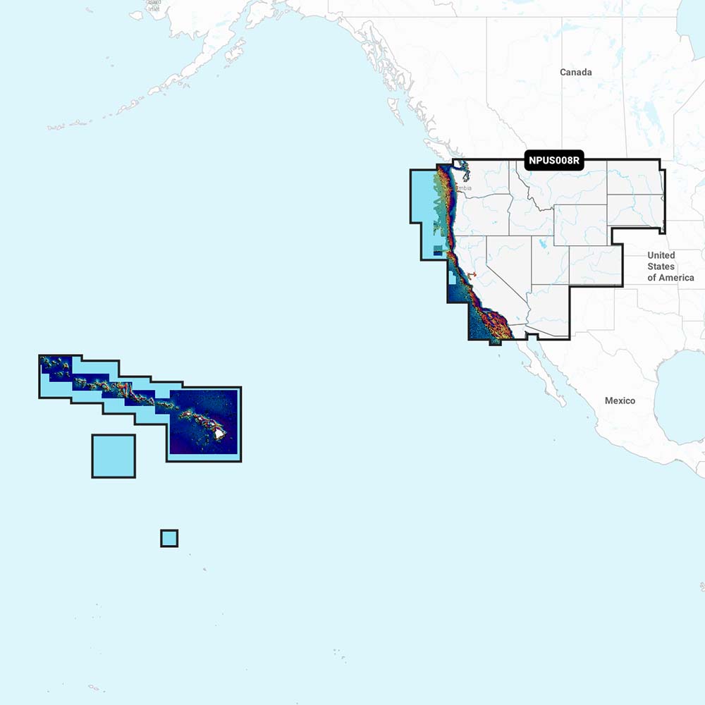
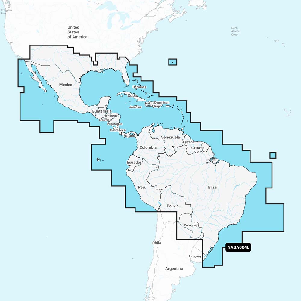
Charts & Maps
Navigate with Confidence — Premium Marine Charts & Maps
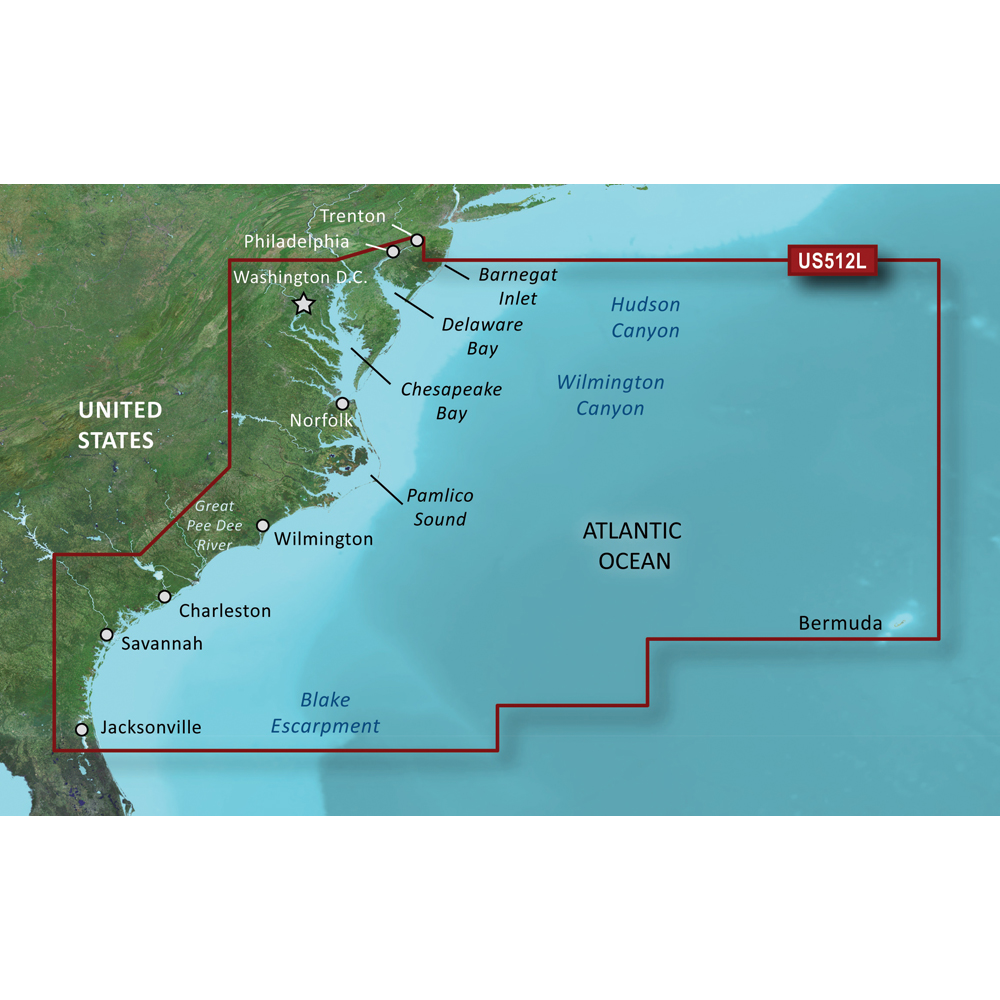
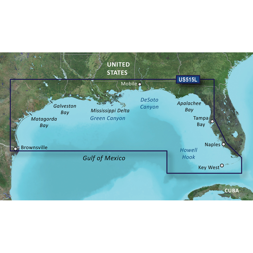
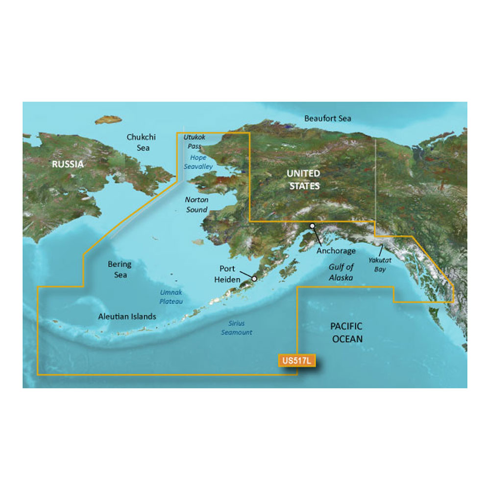
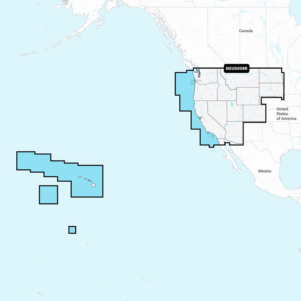
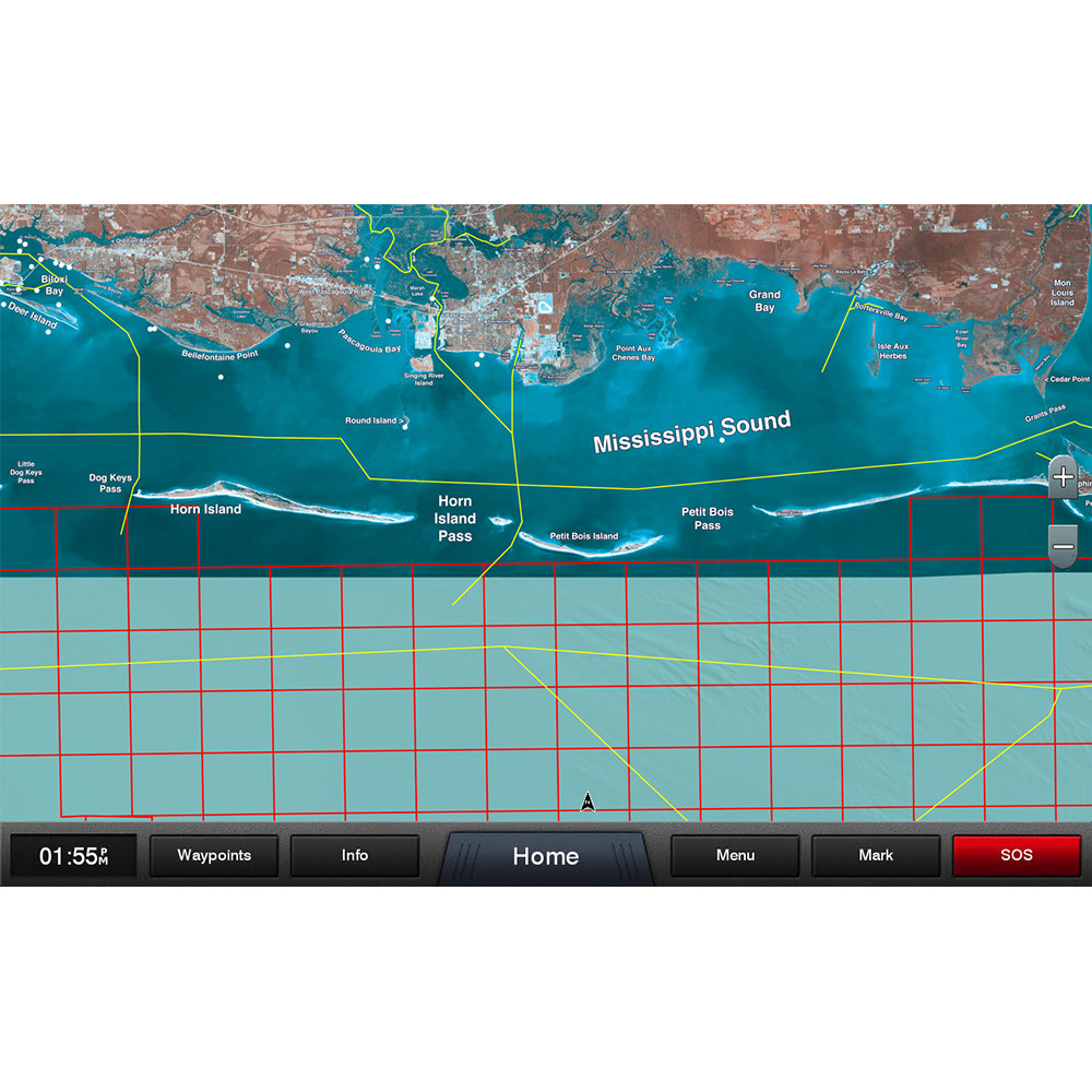
At The Outdoor Warehouse, we provide reliable nautical charts and marine maps designed for safe, accurate navigation. Also called boating maps, navigation charts, coastal maps, fishing maps, and sailing charts, these tools are trusted by cruisers, anglers, and professional mariners alike.
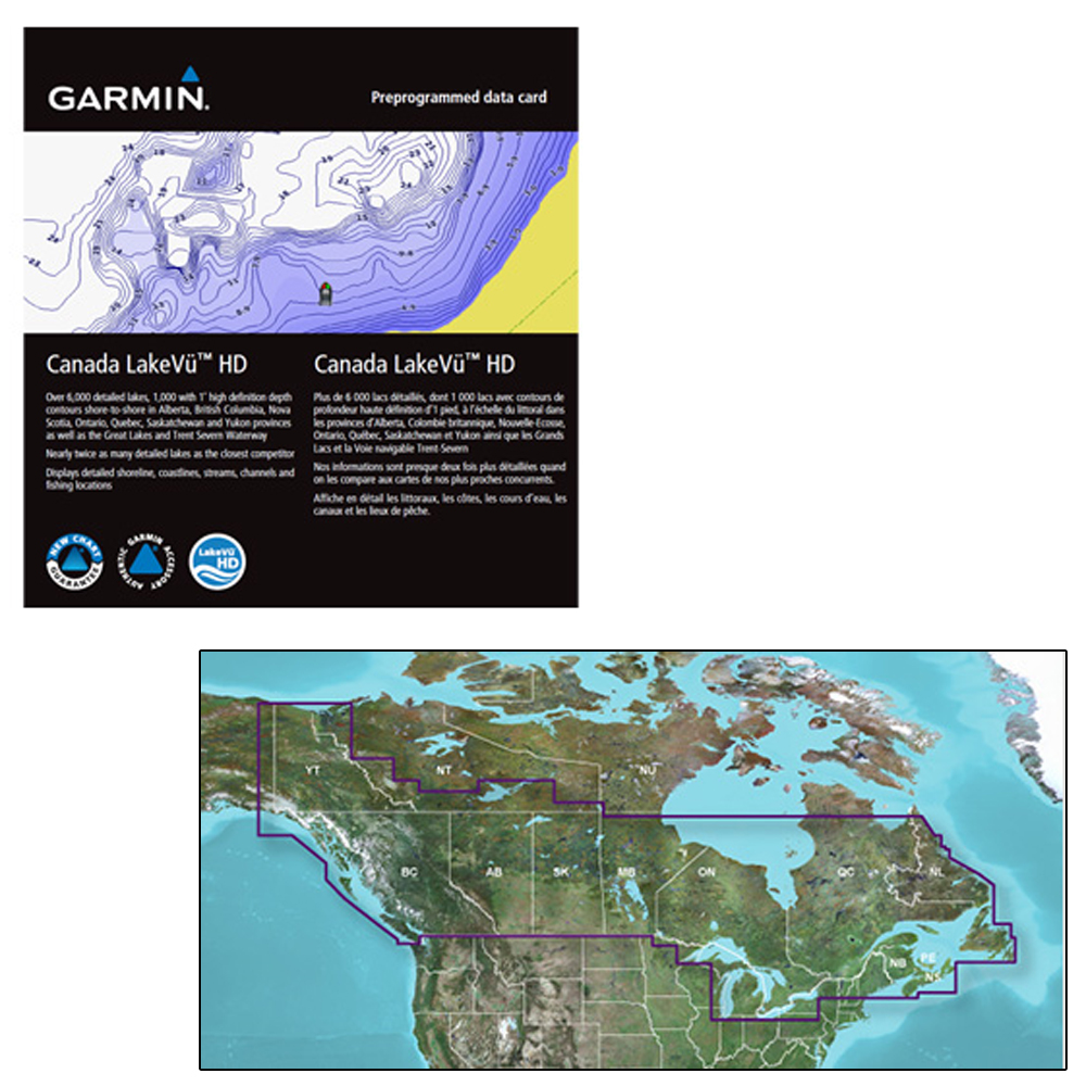
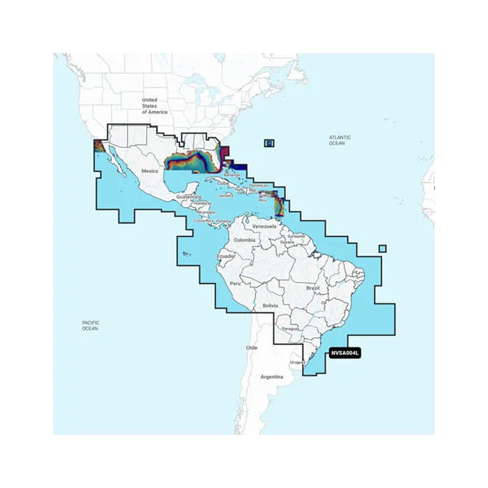
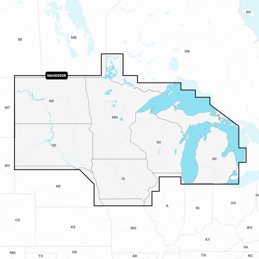
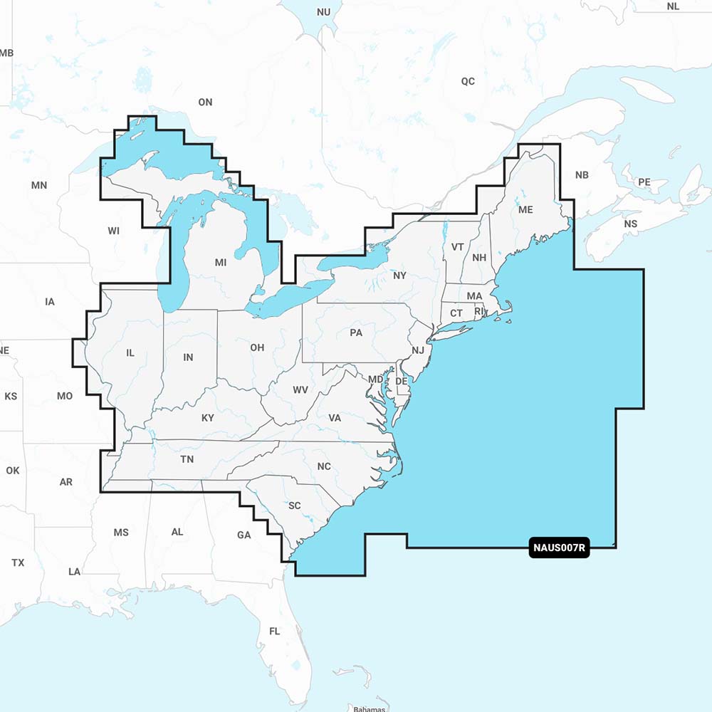
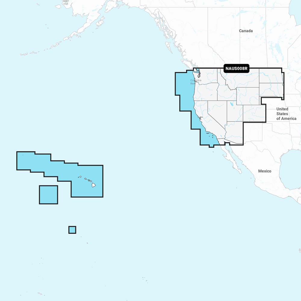
Choose from traditional paper charts, digital charts for GPS units, and specialized fishing or inland waterway maps to plan your route and stay prepared in any conditions.
Why Use Marine Charts & Maps?
- Accuracy: Provides detailed depth contours, hazards, and landmarks.
- Reliability: Paper charts work as backups when electronics fail.
- Versatility: Options for offshore navigation, inland waterways, and fishing grounds.
- Trip Planning: Helps plot routes, estimate distances, and identify safe anchorages.
Marine Charts at a Glance
| Chart Type | Best For | Key Features |
|---|---|---|
| Paper Charts | Backup navigation & planning | No power needed, highly detailed, reliable |
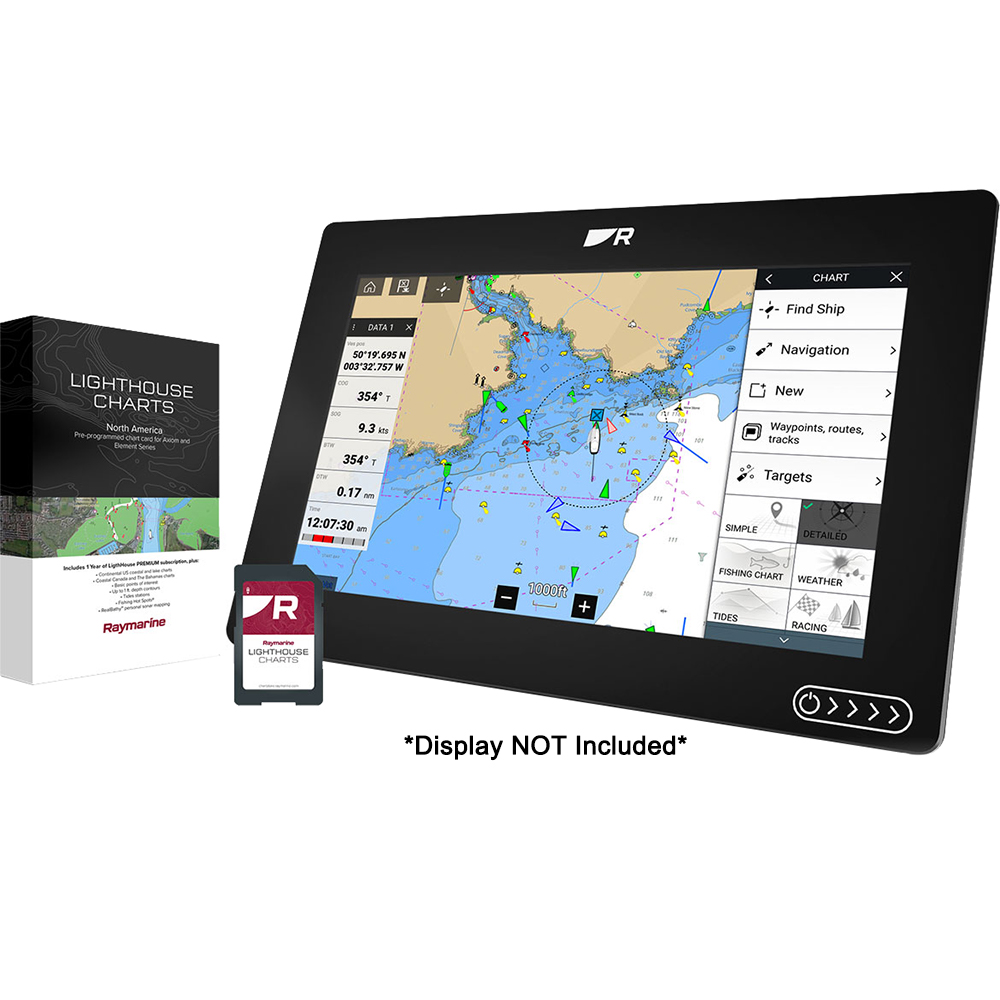
| Digital Charts | Modern GPS navigation | Real-time updates, chartplotter compatible |
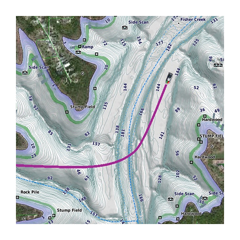
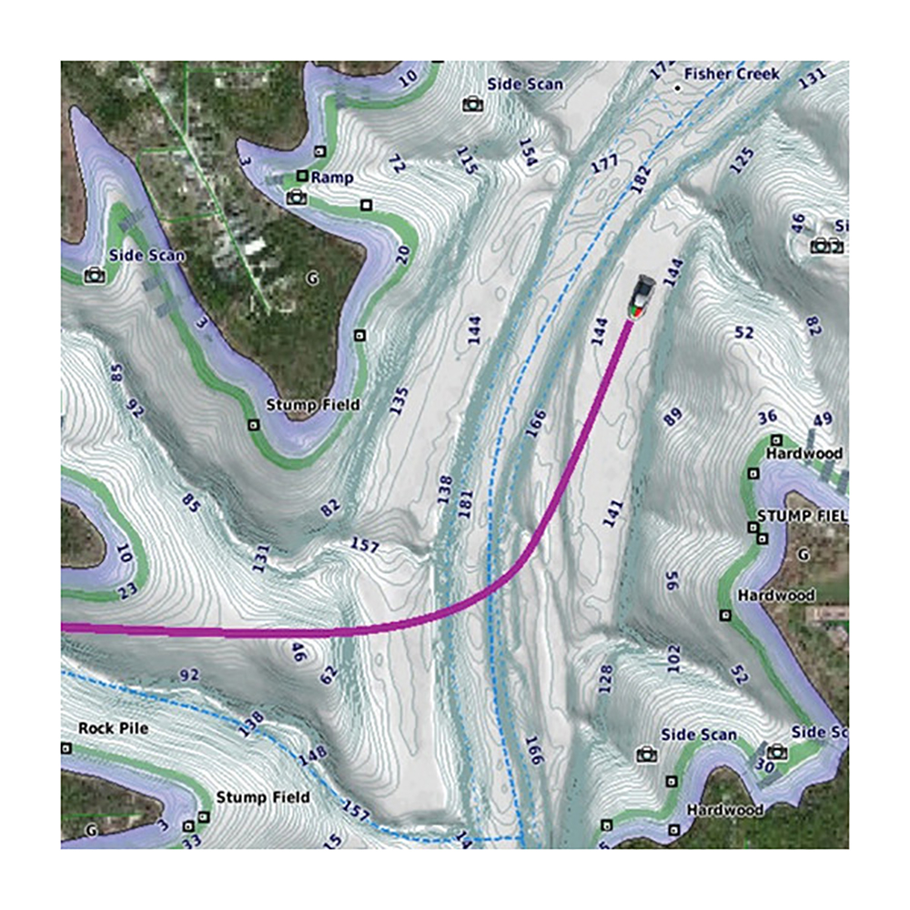
| Fishing Maps | Anglers & offshore trips | Depth contours, reefs, hotspot markers |
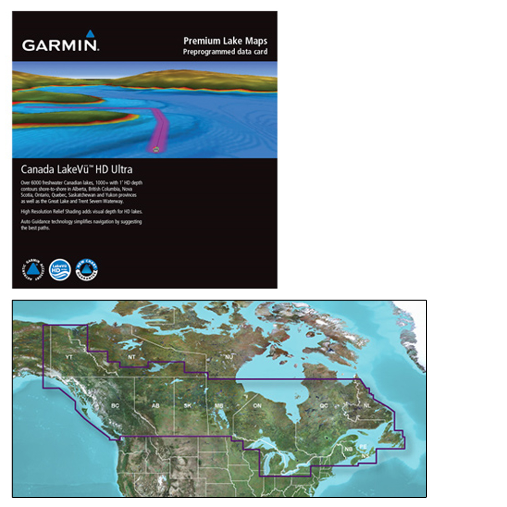
| Inland Waterway Maps | Lakes & rivers | Detailed coverage of inland routes & channels |
| Planning Charts | Trip prep & long voyages | Large-scale overviews for plotting |
How to Choose the Right Chart
Not all charts serve the same purpose. Here’s how to pick the right one for your trip:
- Paper Charts: Always carry as a backup, even if you primarily use digital tools.
- Digital Charts: Best for chartplotters and GPS users who need constant updates.
- Fishing Maps: Designed for anglers who want detail on reefs, drop-offs, and productive waters.
- Inland Maps: Essential if boating on lakes, reservoirs, or river systems.
- Planning Charts: Ideal for plotting courses before you leave the dock.
Tip: Many boaters use a combination — digital charts for real-time guidance and paper charts as a reliable backup.
Pro Tip
Keep your charts stored in a waterproof case, and always cross-reference digital data with paper backups when traveling offshore.
Pair Charts & Maps With
Why Buy Charts from The Outdoor Warehouse?
- Extensive selection of paper, digital, and specialty marine maps.
- Trusted by recreational boaters, anglers, and offshore sailors nationwide.
- Fast shipping and expert-backed product guidance.
Need help selecting the right chart? Contact The Outdoor Warehouse experts for personalized recommendations.
Shop marine charts & maps today at The Outdoor Warehouse — reliable tools for safe and accurate navigation.


